Greenland Ice Sheet: ‘More than 50 hidden lakes’ detected
- Nature Khabar


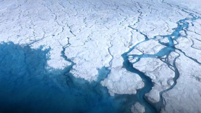
Scientists have identified more than 50 new lakes of liquid water lying under the Greenland Ice Sheet.
Only four had previously been detected.
Antarctica hides some 470 lakes beneath its ice but this latest UK/US study proves the northern polar region also has its share.
They are nothing like as big, however. The largest down south, Lake Vostok, is 250km long. The biggest subglacial lake in Greenland is just 6km long.
Extensive areas of water can pool under a kilometres-thick ice sheet for a number of reasons.
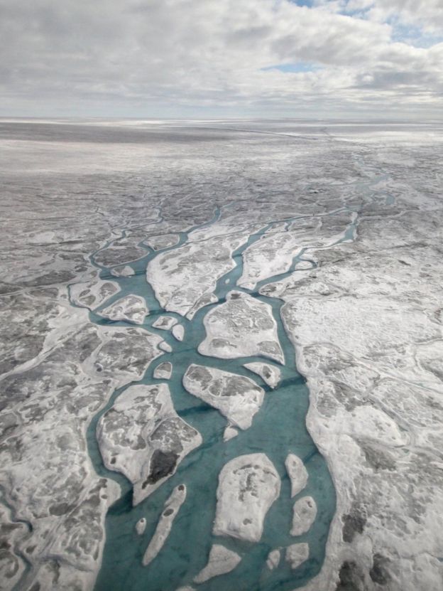
Pressure from above and geothermal heat from below can maintain a liquid; surface meltwaters will also drain to the bed and collect in hollows.
Researchers are interested in finding such lakes because they say something about the hydrology (water network) underlying an ice sheet and the way it moves.
Water acts as a lubricant, and as the world warms, modelling how quickly ice might slide towards the ocean will inform projections of future sea-level rise.
Greenland's ice would increase global ocean height by 7m if it were all to melt.

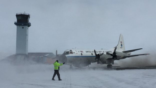
Jade Bowling from Lancaster University manually inspected 570,000km of ice-penetrating radar data gathered by Nasa's IceBridge programme in Greenland.
The US space agency has regularly flown an instrumented plane back and forth across the ice sheet to map its internal layers and the shape of the bedrock. Liquid water has a telltale backscatter pattern in radar data.
The PhD student identified 54 candidate lakes in this search. "In contrast to Antarctic subglacial lakes, which are typically clustered around (interior) ice divides, these new Greenlandic lakes are mostly found towards the margin of the ice sheet, under relatively slow-moving ice and are mostly stable," she told BBC News.
"They are also much smaller than those in Antarctica (1.4km average length compared to 11km)."
As well as the 54 radar lakes, a further two candidates were found by looking for sharp height changes in the new ArcticDEM dataset.
This elevation model was built from very high-resolution satellite photos and Ms Bowling sees a couple of places where the ice surface has slumped, presumably because an underlying lake has drained away.
"These 'active' lakes that fill and drain, making the ice lift up and down, seem to be rare," said co-author Dr Stephen Livingstone. "But we speculate that the signal of active subglacial lakes near the margin of the ice sheet may actually be being lost because this is where a lot of surface meltwater gets down to the bed.
"This water may be flushing out the lakes on a seasonal basis by making very efficient channels. The margins may just be a very dynamic area."

In Antarctica, a number of lakes, including Vostok, have been the target for scientific drilling.
The thought is that some of the oldest, most stable lakes will hold ancient organisms that have been trapped in place from when the ice sheet formed.
The chemistry of the water and the nature of the sediments should also provide valuable insights on past environmental conditions.
Prof Martin Siegert at Imperial College London led an effort to try to drill into Antarctica's subglacial Lake Ellsworth.
He commented to BBC News: "Since the ice sheet is likely to have changed massively in the last ice age cycle, these Greenlandic lakes are unlikely to be ‘very’ old. Hence, the types of questions you might ask from Lake Vostok/Ellsworth will be different to what you might accomplish by drilling into a Greenland lake.
"As the authors say, these are just candidate lakes and more geophysics is needed to determine whether they would be interesting to drill (check for water depth, topographic setting, basal sediment).
"So, an analysis on which lakes look best from an exploration perspective seems a logical next step. Then, if the science return looks strong enough, an exploration mission could well follow."


Feedback