7 things NASA taught us about climate change
- Nature Khabar
 NASA’s work on climate change is in jeopardy. The new administration in the United States has warned it will end funding for the space agency's climate research unit, and channel it into space exploration instead.
NASA’s network of satellites have provided us with a wealth of information on climate change. Here are just a few of the things we have learned.
In 2016, surface temperatures were the warmest since modern records began in 1880, according to research from NASA and the National Oceanic and Atmospheric Administration (NOAA).
Globally averaged temperatures in 2016 were 1.78 degrees Fahrenheit (0.99 degrees Celsius), warmer than the mid-20th century mean. This makes 2016 the third year in a row to set a new record for global average surface temperatures.
- How greenhouse gases move around the Earth
Greenhouse gases, which are mostly caused by the burning of fossil fuels for energy, are driving global warming.
This NASA video shows how gases move through the atmosphere. By understanding how much emitted carbon dioxide stays in the atmosphere, where it goes and how long it stays there, scientists can better predict the Earth’s future climate.
- What’s happening to Arctic sea ice
Arctic sea ice is one way we can see global warming in action. It’s not only shrinking, but the oldest ice is melting, which means that it’s even more vulnerable to future melting.This animation shows Arctic ice growing in the winter and melting in the summer, and shows the changes year on year. Younger sea ice is shown as darker, while ice that is at least four years old is shown as white.
- The impact of climate change on polar bears and other animals
Using satellite data from NASA, scientists have predicted a possible 30% drop in the global population of polar bears over the next 35 years. That’s because sea ice is their main habitat, and it is shrinking. But the polar bear isn’t the only animal being studied by NASA’s satellites.
NASA’s images have also followed the growth, or lack of growth, of vegetation in the south-western United States, which is expected to become more prone to droughts driven by climate change. The resulting loss of vegetation will not only impact herbivores such as mule deer, but their main predator, the mountain lion, could take an even larger hit.
- How communities can adapt to global warming
A joint venture between NASA and the US Agency for International Development(USAID) helps bring information to people in areas around the world facing major environmental problems. Called SERVIR, the initiative uses satellite imaging and mapping to help improve environmental decision-making among developing nations in eastern and southern Africa, the Hindu-Kush region of the Himalayas and the lower Mekong River Basin in South-East Asia. For example, in the Himalayas, SERVIR uses Earth-observation information from satellites to detect forest fires, allowing rangers to deal with them much more quickly.
- Measuring rising seas
Sea-level rise is a disturbing indicator of how human activity has been changing the planet.
Even tiny changes in a body of water can amount to enormous effects on climate and weather, says NASA.
The Jason-3 satellite, launched in January 2016, is allowing scientists to continue monitoring the ocean, to better understand and predict our changing climate
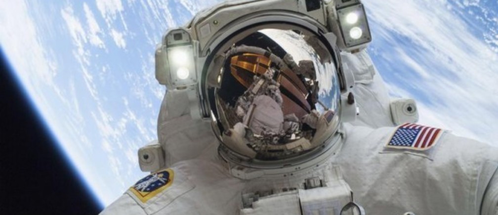
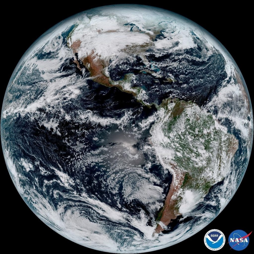
- The beauty of Earth from space
NASA’s stunning images of Earth from space have enabled us to appreciate our planet from a different perspective. This image was taken from NOAA's newest satellite GOES-16, in January this year. The satellite is in orbit 22,3000 miles above Earth.
World Economic Forum


Feedback