Scientific study finds Nepal’s glacial lakes have large potential flood volumes
- Rajan Pokhrel

With a recent study finding at least 11 lakes at very high risk and 31 at high risk in Nepal, Professor of Environmental and Water Resources Engineering at the University of Texas, Austin, Daene C McKinney said there must be a strong and effective coordination between the scientific community and local residents to provide the latter with better information on risk, hazards and other possible consequences of glacial lake outburst floods.
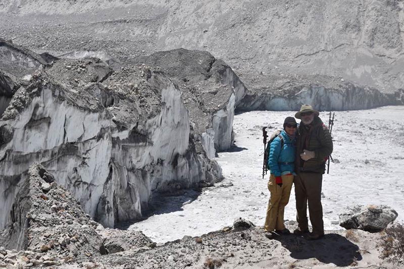
“It’s equally important to develop a sustainable linkage between science and local communities in Nepal,” the renowned scientist, who made several research trips to the Khumbu region, said during a recent conversation with this daily in Kathmandu. According to him, locals need instant information on disaster planning and management.
McKinney who is also co-author of the scientific research paper titled ‘Identification of Hazard and Risk for Glacial Lakes in the Nepal Himalaya Using Satellite Imagery from 2000–2015’, which was recently published by MDPI AG Journal in Switzerland, also stated that science-based and community-driven approaches were the need of hour for climate change adaptation in Nepal.
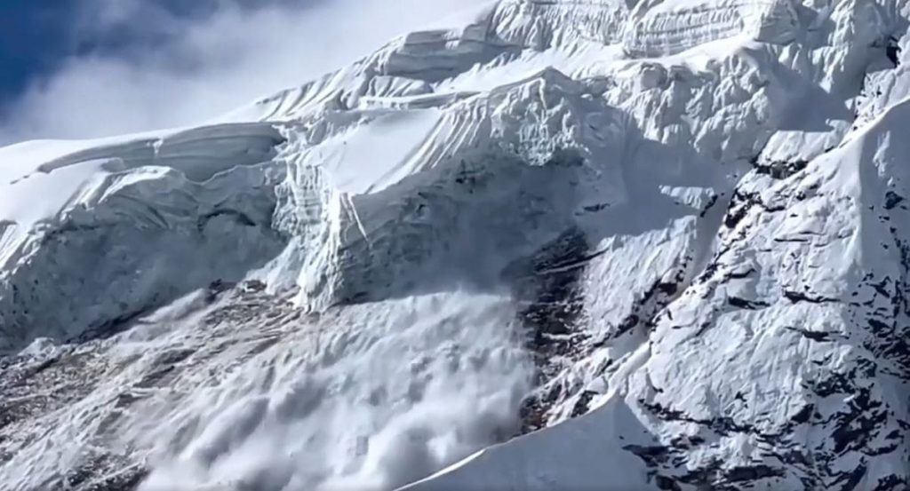
According to the research paper authored by McKinney along with scientists David R Rounce of UT, Austin and Scott Watson of University of Leeds, at least 11 lakes were at very high risk and 31 at high risk. “The lakes are growing as well as increasing the risk of flooding to the nearby communities,” McKinney said attributing this to the effects of the 2015 earthquakes that only amplified those concerns and the community’s fears in the region.
After identifying 131 lakes greater than 0.1 square km by using a remote sensing glacial lake survey, the scientists applied a geometric GLOF model to each lake to quantify the potential downstream impacts. “According to lake type, unconnected glacier fed lakes accounted for 64 lakes (49%), followed by 37 proglacial lakes (28%), 24 non-glacier-fed lakes (18%), and six supraglacial lakes (5%).”
Some of the notable lakes that have large potential flood volumes were Phoksundo Tal, Tsho Rolpa, Chamlang North Tsho, Chamlang South Tsho, and Lumding Tsho while Imja Lake was found to be the only lake where the lake expansion changed its future risk from moderate to high as its future proximity makes it susceptible to an avalanche entering the lake, the scientists stated, adding that the expected expansion of Imja Tsho until 2045 may cause the same lake to be susceptible to avalanches entering the lake in the future. Therefore, it will be important to monitor its growth moving forward.
The authors also suggested that using the potential flood volume associated with self-destructive and dynamic failures to prioritised glacial lakes such that the lakes with a sizable flood volume and the greatest risk are the focus of future work. “These results are intended to assist stakeholders and decision makers in making well-informed decisions with respect to glacial lakes that should be the focus of future field studies, modeling efforts and risk-mitigation actions.”
STUDY FINDINGS
• With respect to dynamic failures for the 131 lakes, 26 were susceptible to an upstream GLOF. Only 8 of the 32 lakes that were susceptible to an avalanche were susceptible to a direct hit, and 29 of the 105 lakes that were susceptible to a rockfall were susceptible to a direct hit, which revealed that most avalanches and landslides were entering the lakes along their minor axes
• The Koshi basin had the greatest number of very high hazard lakes (10 lakes) followed by the Karnali basin (6 lakes)
• Tsho Rolpa and Lake 66 appear to be the riskiest lakes since they are classified as high hazard and threaten hydropower systems
• Lakes 79, 45, 81, 23, Tsho Rolpa and Dig Tsho would be the riskiest lakes since they are high and very high hazard and potentially impact the largest numbers of buildings
• At least 121 (92%) of the lakes inundated at least one building, while 64 (49%) of the lakes inundated at least 20 buildings while the number of buildings inundated varied from 0 to 634 with a median of 17 buildings
• The number of hydropower systems threatened was much lower with only 11 (8%) of the lakes threatening a hydropower system and the amount of agricultural land inundated varied greatly from 0 to 4.5 with a median of 0.26 square km, and the number of bridges varied from 0 to 25 with a median of 4 .
The Himlayan Times


Feedback